- Home
- Adventure Challenges
- Jeep Glossary
- Jeep Types
- Jeep Clubs
- Georgia Traverse
- Georgia Adventure Trail
- Popular Trails
- Forest Service Roads
- Off-Road Parks
- Jeep Badge Trails
- Fun Jeep Drives
- Off-Roading Basics
- Off-Road/Repair Shops
- Recovery & Support
- Content Creators
- Jeep Dealerships
- Navigation
- Destinations
- Gifts/Products
- Useful Maps
- Club Spotlight
- springsummit
North Georgia Jeep Adventure Challenges
North Georgia Jeepin Off Roading Area
CHALLENGE 10: Springer Summit & Forest Ridge Run
Area: Dawsonville → Nimblewill → FS 42 → Springer Mountain
Time: 4–6 hours
Difficulty: Easy to moderate (paved mountain roads + beginner gravel with weather variables)
📍 START: Dawsonville Historic Corridor / Fuel Stop
Fuel up before you hit gravel.
Coffee & Warm-Up Options
- Downtown Dawsonville cafés
- Grab-and-go breakfast near GA-53
- Trail snacks + ice before heading north
📍 Segment 1: Dawsonville → Nimblewill Church Road
From downtown Dawsonville:
- Take GA-9 North
- Turn LEFT onto Auraria Road
- Continue until pavement narrows and becomes Nimblewill Church Road
📍 Nimblewill Church Road
 4
4
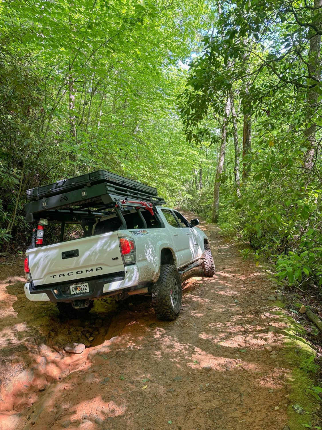
Task 1 — Canopy Tunnel Shot
Find the dense tree canopy corridor.
Line up your Jeep centered beneath the tunnel of trees.
Portrait orientation photo required.
Historical Nugget
Research on-site or beforehand:
What year was the Nimblewill settlement first referenced in Lumpkin County records?
Photo proof = posted sign or screenshot.
Stewardship Moment
Pick up at least 3 pieces of trash at a safe pull-off.
📍 Segment 2: Nimblewill → FS 77 → FS 42
Continue uphill until pavement ends.
Follow signage toward Forest Service roads.
Turn onto FS 77 (gravel begins).
Follow until intersection with FS 42.
Turn RIGHT onto FS 42.
📍 FS 42 Forest Ridge Drive
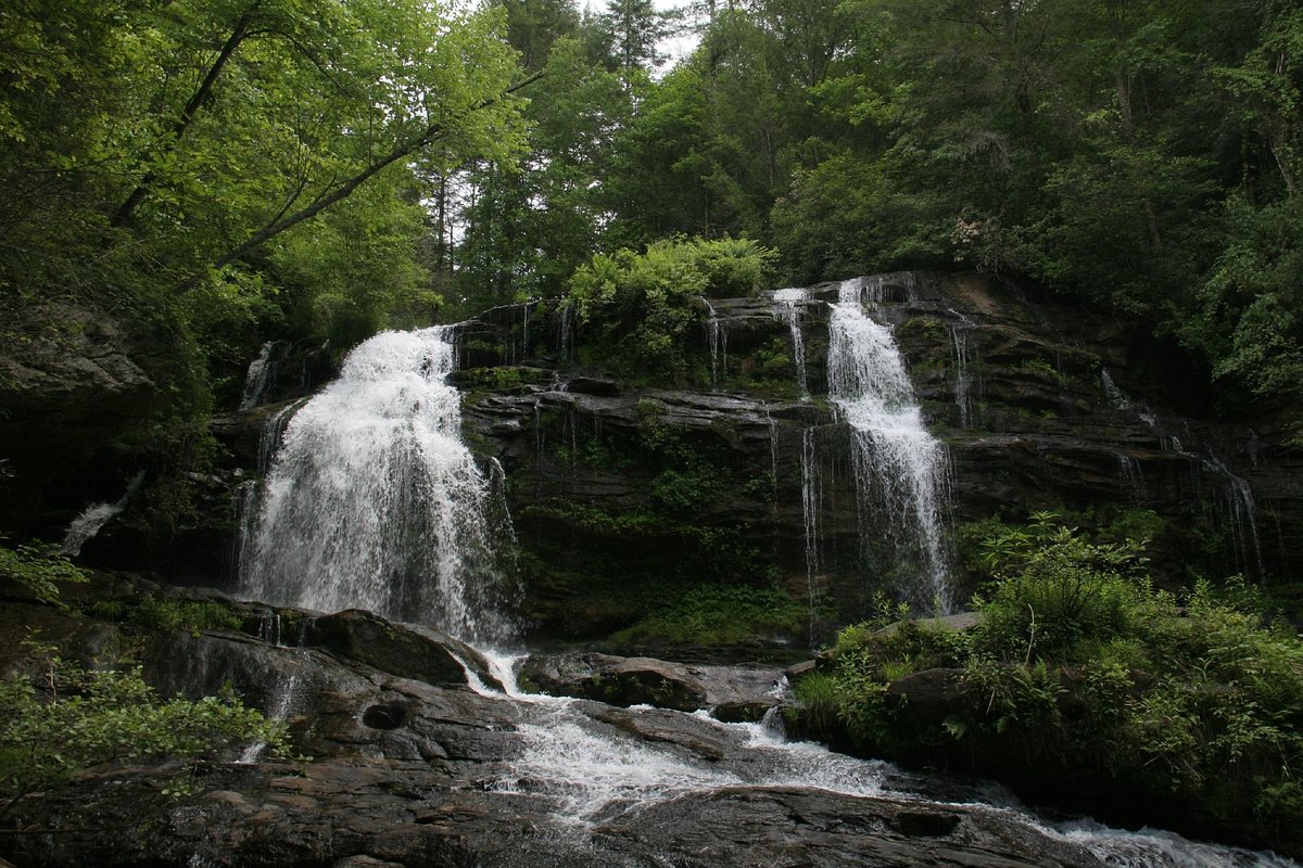 4
4
Task 2 — Forest Road Log
Air down (optional but recommended).
Log starting PSI.
Drive at least 3 miles of gravel.
Look for:
• Rock outcrops
• Shadowed ridge lines
• Appalachian Trail signage
📍 Springer Mountain Parking Area

 4
4

Primary destination: Springer Mountain
Southern terminus of the Appalachian Trail
Park at Springer trailhead lot.
🥾 Task 3 — Summit Plaque Hike
Hike approx. 0.5 miles to summit.
Photo proof required:
• Bronze AT plaque
• Jeep group shirt or decal
• Group summit shot
📍 Task 4 — AT Learning Moment
Answer this:
What year was Springer Mountain officially designated as the southern terminus of the Appalachian Trail?
Photo proof = plaque or posted trail info.
📍 Task 5 — Perfect Parking Overlook
Back at parking area or along FS 42:
Find a safe turnout with:
• Mountain backdrop
• Layered ridge view
• Jeep angled toward horizon
Landscape orientation shot required.
OPTIONAL BONUS TASKS
A) Wildlife Spotting
Document:
• Wild turkey
• White-tailed deer
• Red-tailed hawk
• Chipmunk
Photo or short video proof.
B) Through-Hiker Encounter
If you meet an AT hiker:
• Wish them luck
• Ask where they’re headed
• Capture pack + trail shoe photo (respect privacy)
C) Coffee on the Ridge
Brew coffee trailside using camp stove or tailgate setup.
Photo required.
🏁 FINISH OPTIONS
Southern Finish: Dawsonville
Continue downhill until pavement returns.
Turn RIGHT toward Dawsonville.
Jeep-Friendly Eats:
- Big D’s BBQ — easy parking
- Dawsonville Pool Room — classic chili dogs
- Casual dining options along GA-53
Northern Finish: Ellijay Ridge Return
Turn LEFT at pavement.
Follow GA-52 back over the mountain.
Food stops in Ellijay:
- Grumpy Old Men Brewing
- Cantaberry
- Rooftop square dining options
OPTIONAL FACT SHEET CHALLENGE
Answer three:
• What year did the Appalachian Trail officially extend to Springer Mountain?
• Approximately how long is the full Appalachian Trail?
• What national forest surrounds Springer Mountain?
ROUTE SUMMARY (Turn-by-Turn Quick View)
START: Dawsonville fuel corridor
Segment 1:
GA-9 North → LEFT on Auraria Road → Continue to Nimblewill Church Road
Segment 2:
Follow Nimblewill until gravel → Continue to FS 77 → RIGHT onto FS 42
Segment 3:
FS 42 approx. 2.8 miles → Springer Mountain parking lot
Segment 4:
Return same way → Choose Dawsonville or Ellijay finish
